FEMA let Camp Mystic operate in 100-year flood zone despite deadly warnings for years: ‘Particularly disturbing’

Federal regulators repeatedly approved appeals to remove Camp Mystic’s buildings from their 100-year flood map, easing oversight as the camp operated and expanded in a hazardous floodplain in the years leading up to the central Texas flash floods of July 4, according to new reporting by The Associated Press.
The Federal Emergency Management Agency (FEMA) designated the prestigious girls’ summer camp as being in a “Special Flood Hazard Area” on its National Flood Insurance map for Kerr County in 2011, which meant it was required to have flood insurance and faced stricter regulations on any future construction projects.
That designation indicates an area is likely to flood during a 100-year event, defined as a severe flood with only a one percent chance of occurring each year.
Syracuse University associate professor Sarah Pralle, who has extensively studied FEMA’s flood map determinations, said it was “particularly disturbing” that a camp responsible for the safety of so many young people would receive exemptions from basic flood regulations.
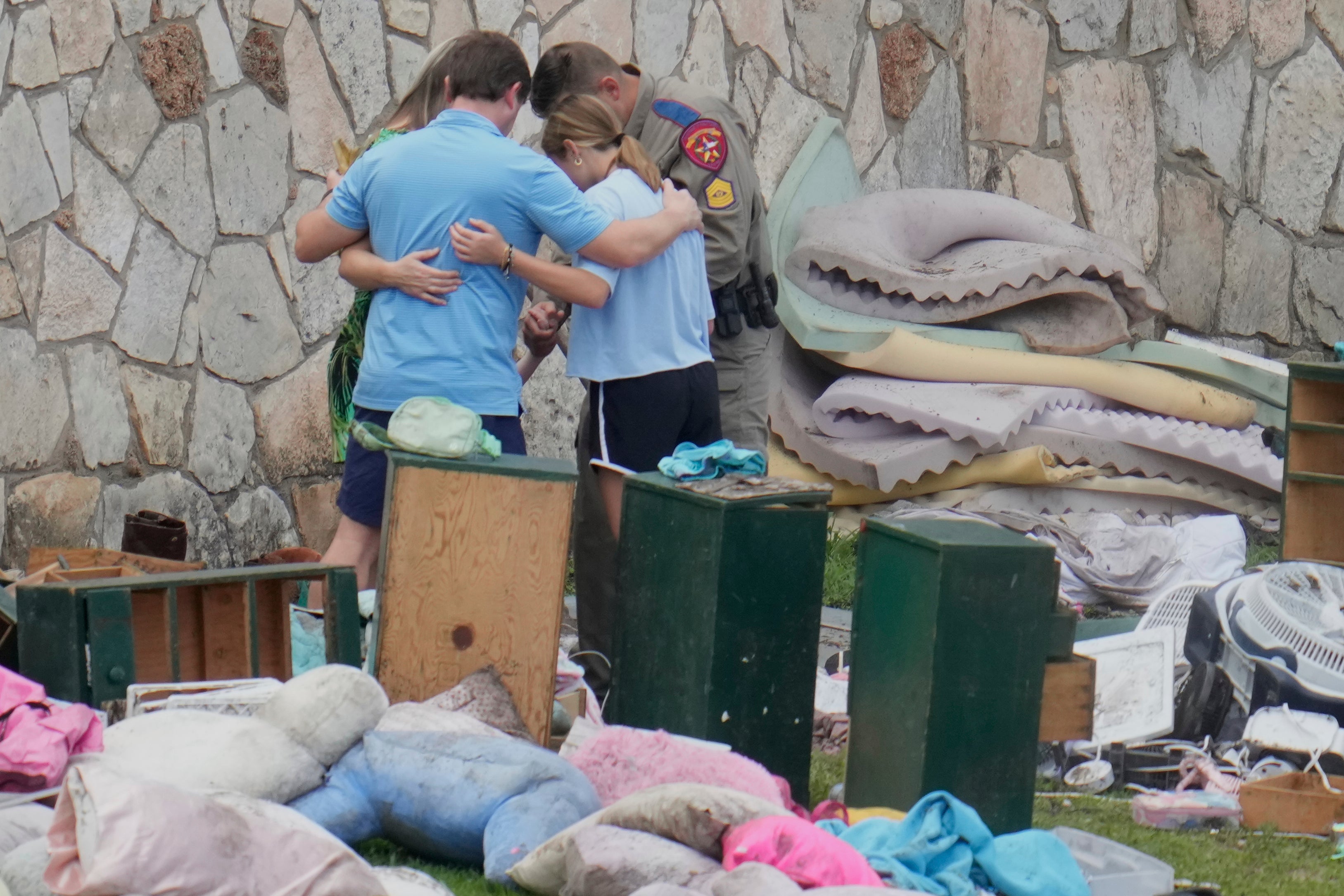
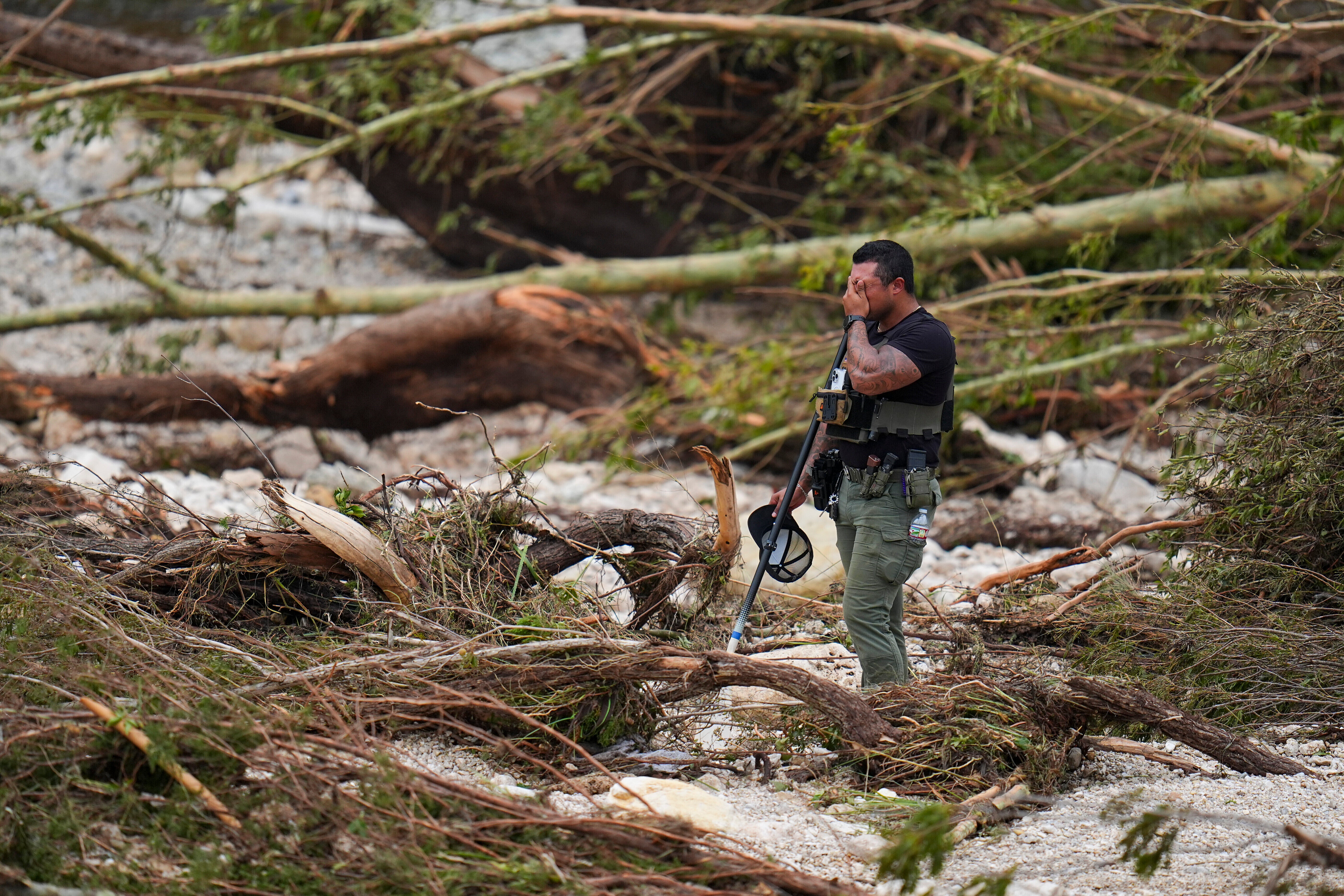
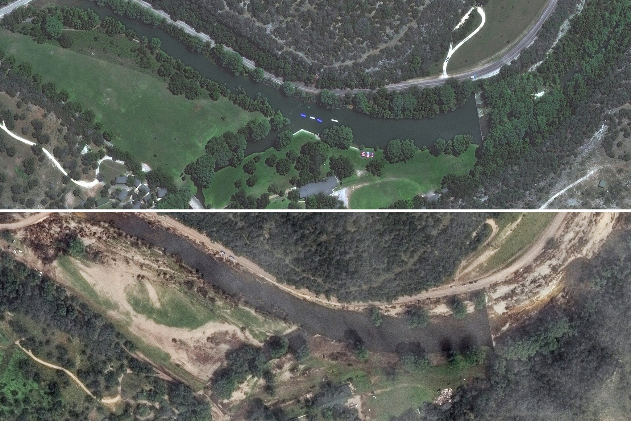
Situated in a low-lying area along the Guadalupe River in a region known as flash flood alley, Camp Mystic lost at least 27 campers and counselors, along with longtime owner Dick Eastland, when historic floodwaters tore through its property just before dawn over a week ago.
The flood was much more severe than the 100-year event predicted by FEMA, according to experts, and moved so quickly in the middle of the night that it caught many people off guard in a county without a warning system.
“It’s a mystery to me why they weren’t taking proactive steps to move structures away from the risk, let alone challenging what seems like a very reasonable map that shows these structures were in the 100-year flood zone,” said Pralle.
Camp Mystic didn’t respond to emails seeking comment, and attempts by the AP to contact staff by phone went unanswered. The camp has described the flood as an “unimaginable tragedy” and added in a statement on Thursday that it had restored power to communicate with its supporters.
In response to an appeal, FEMA amended the county’s flood map in 2013 to remove 15 of the camp’s buildings from the hazard zone. Records indicate that those buildings were part of the 99-year-old Camp Mystic Guadalupe, which was destroyed by last week’s flood.
After additional appeals, FEMA removed 15 more structures at Camp Mystic from the designation in 2019 and 2020. These buildings were located at nearby Camp Mystic Cypress Lake, a sister site that opened to campers in 2020 as part of a major expansion and experienced less flood damage.
Campers have said the cabins at Cypress Lake endured significant damage, but those called “the flats” at the Guadalupe River camp were submerged.
Experts say Camp Mystic’s efforts to change the FEMA map may have aimed to avoid flood insurance requirements, reduce insurance costs, or make it easier to renovate or build new structures under less strict regulations.
Pralle noted that the appeals were not surprising, as communities and property owners have often used them successfully to protect specific properties from regulation.
Regardless of FEMA’s findings, the risk was clear, as at least 12 structures at Camp Mystic Guadalupe were fully within FEMA’s 100-year flood plain, with a few more partially in that zone, according to an AP analysis of data provided by First Street, a data science company specializing in climate risk modeling.
Jeremy Porter, head of climate implications at First Street, said FEMA’s flood insurance map underestimates flood risks because it doesn’t account for the effects of heavy rainfall on smaller waterways, such as streams and creeks. First Street’s model indicates that nearly all of Camp Mystic Guadalupe faces risk during a 100-year flood.
The buildings at the newer Cypress Lake site are farther from the south fork of the flood-prone river but are adjacent to Cypress Creek. FEMA’s floodplain does not consider the small waterway a risk.
However, First Street’s model, which factors in heavy rain and runoff reaching the creek, shows that most of the Cypress Lake site falls within an area with a 1% chance of flooding in any given year.
In a statement to the AP, FEMA downplayed the significance of the flood map amendments: “Flood maps are snapshots in time designed to show minimum standards for floodplain management and the highest risk areas for flood insurance.“
“They are not predictions of where it will flood, and they don’t show where it has flooded before,” the agency said.
Property owners challenging FEMA’s maps hire engineers for detailed studies to argue where the 100-year floodplain should be, a complex process that can improve map accuracy and facilitate future construction.
Pralle, who reviewed the amendments for AP, noted that some of the exempted properties were within two feet of FEMA’s flood plain according to the camp’s revised calculations, which she said left almost no margin for error.
She stated that her research indicates FEMA approves approximately 90% of map amendment requests, and the process might favor the wealthy and well-connected.
FEMA warned in its amendments that other parts of Camp Mystic remained on the flood map, and that “any future construction or substantial improvement” would be subject to flood plain management regulations.
County officials not only allowed the camp to continue operating but also enabled a significant expansion, with Camp Mystic owners Dick and Tweety Eastland citing the “tremendous success” of their original camp to justify the need for a second nearby site.
The expansion included new cabins, a dining hall, a chapel, an archery range, and more. Records show that the camp had 557 campers and over 100 staff members across its two locations when a state licensing agency inspected on July 2, two days before the tragedy.
Chris Steubing, executive director of the Texas Floodplain Management Association, an industry group that represents floodplain managers, said the rain and flooding that hit Kerr County in a matter of hours were so much more intense than anything in its history that it’s hard to call the floodplain management a failure.
Local officials likely believed they were following existing regulations when they allowed the camp to keep growing, but “then Mother Nature set a new standard,” Steubing said.
“You could have built things two feet higher, three feet higher, and they still might have gotten taken down,” he added.
As of Saturday, July 12, a total of 129 people have been confirmed dead from the July 4 flood. A week later and approximately 160 are still believed to be missing.
With reporting by the Associated Press


