
A giant ‘pulse wave’ is about to slam into California – here’s how it will impact the West Coast

Want to bookmark your favourite articles and stories to read or reference later? Start your Independent Membership today.
Already a member?
Log in
A massive wave of energy is expected to slam into the California coast in October, sending sea levels rising by up to a foot and threatening coastal homes and ecosystems.
The so-called Kelvin wave forms because of sudden changes in wind speed and force, and has the ability to push warm water vast distances for months, according to forecaster AccuWeather.
In this case, the Kelvin wave is driven by strengthening super El Niño conditions, experts say.
The natural climate pattern is forecast to bring more life-threatening flooding rainstorms and extreme temperatures across the U.S. into next year, worsened by human-caused climate change.
The Kelvin wave is “one of the first, if not the first indication that El Niño is here,” Dillon Amaya, an assistant professor in the department of marine, earth and atmospheric sciences at North Carolina State University, told The New York Times on Wednesday.

Past El Niño events have raised West Coast water levels by more than 7.9 inches, according to NASA.
Unfortunately for Californians, that’s not the only reason water levels are expected to swell, too.
The Golden State’s king tides – especially high tides that occur due to the position of the Earth, moon and sun – are expected to be worse than typical this year due to the moon’s location in relation to Earth’s equator.
Those happen around Thanksgiving and Christmas, Anthony Edwards, a meteorologist at The San Francisco Chronicle, wrote on Monday.
And climate change has brought sea levels inching upward for decades, rising 8-9 inches worldwide since 1880, according to federal data.
In the now-hurricane-riddled Pacific, sea levels have risen 4-6 inches since 1993, according to the United Nations.
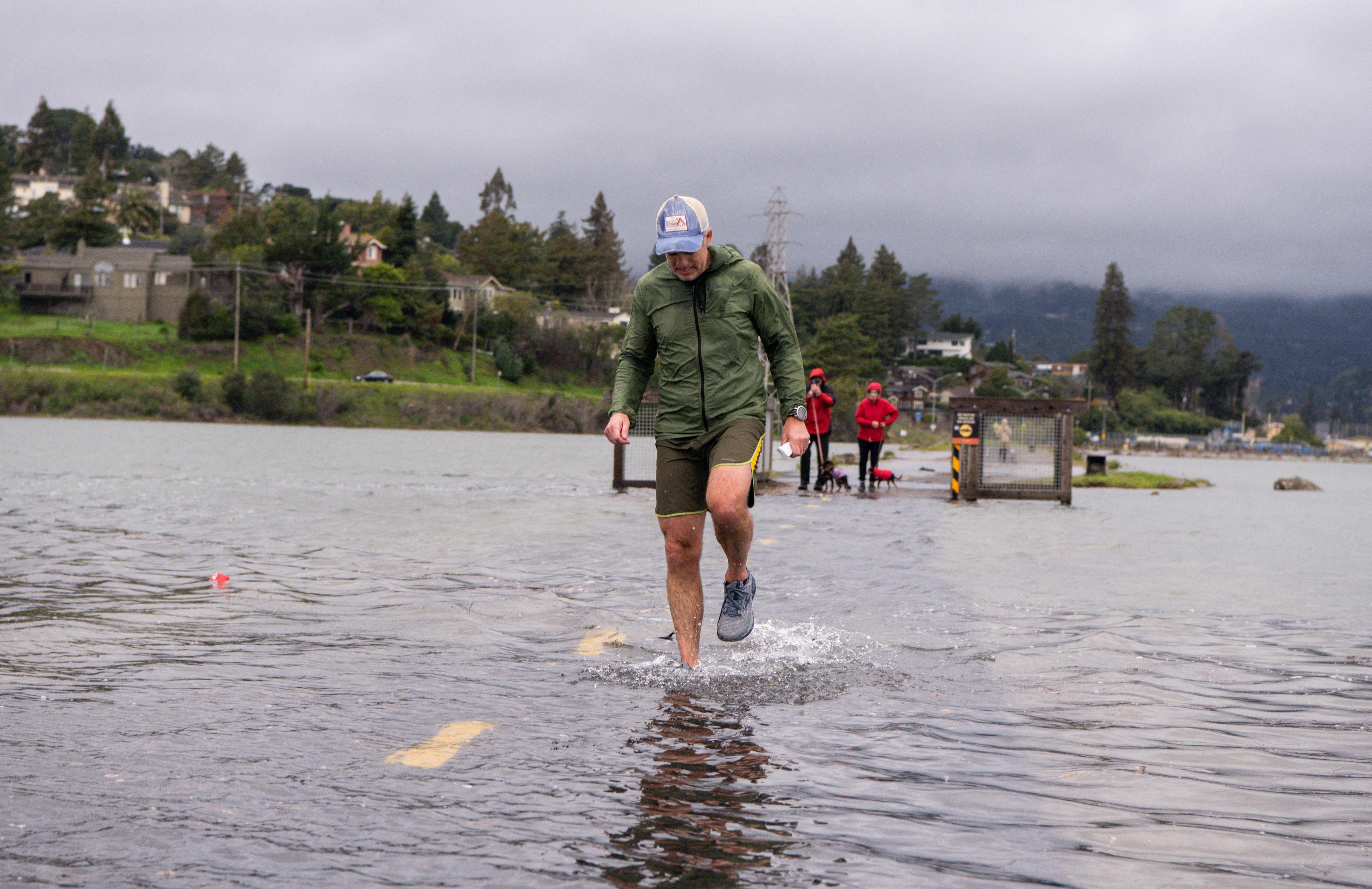
These effects have made for some records already in California. The Bay Area got its second-ever coastal flood advisory this month and a previous Kelvin wave caused San Francisco’s highest June and July tides on record.
That’s also part of what led Gov. Gavin Newsom to declare a state of emergency, mobilizing state agencies to distribute sandbags and pumps.
And the triple-threat is what has experts so concerned, saying bigger impacts are coming.
“This coming Kelvin wave is just the beginning,” Dr Jonathan Warrick, a research geologist at the U.S. Geological Survey, told The Guardian on Wednesday.
“The thing to look out for is what will happen in January, February and March – that’s when we get the biggest storms, we get our largest waves and we have some very large tides.”
